

"If geography is prose, maps are iconography."
- Lennart Meri
|
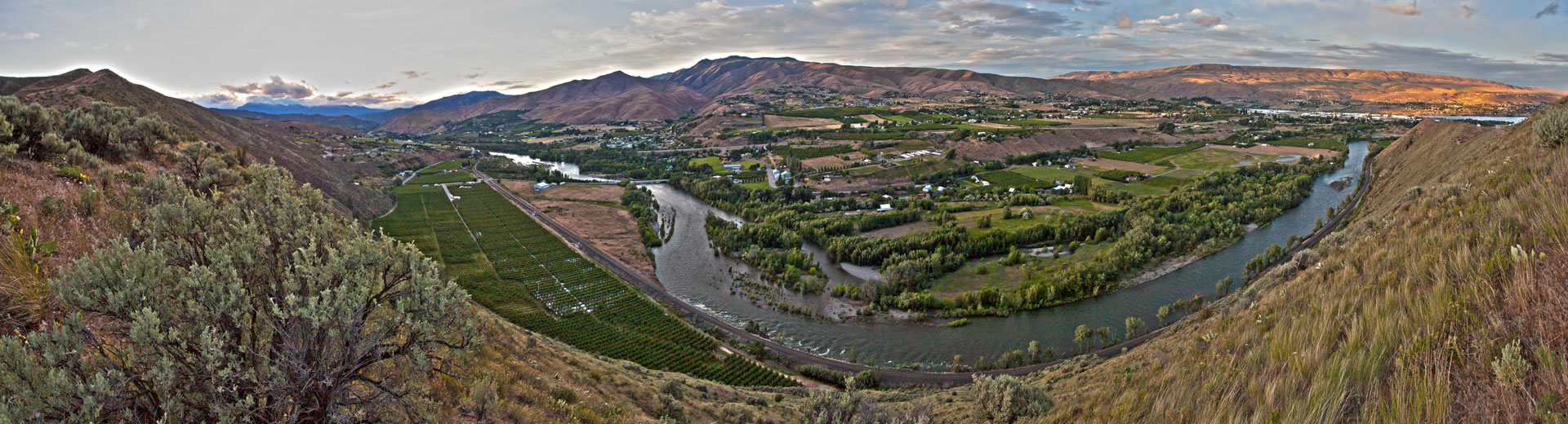
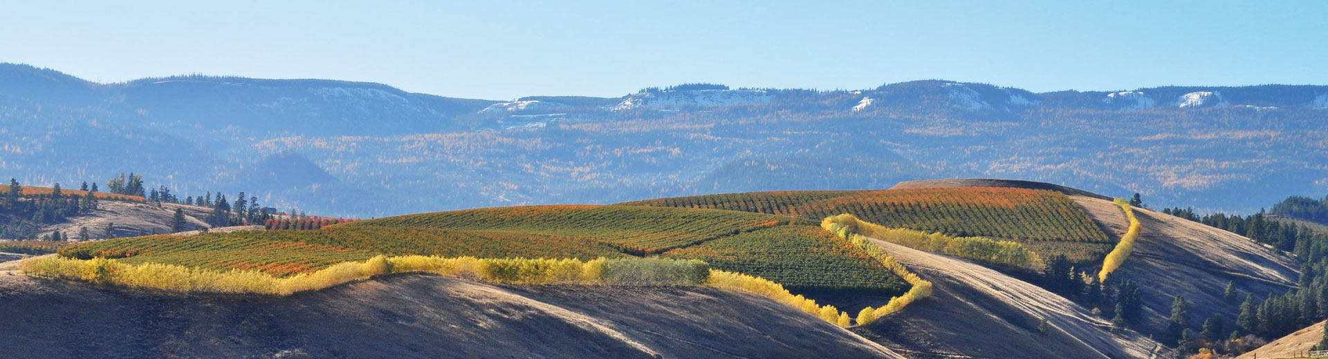
Mapping Resource Management What is GIS? A Geographic Information System, or GIS, is a powerful tool. According to ESRI, a leader in the GIS industry, it "...integrates hardware, software and data for capturing, managing, analyzing, and displaying all forms of geographically referenced information. It allows us to view, understand, question, interpret, and visualize data in many ways that reveal relationships, patterns, and trends in the form of maps, globes, reports, and charts." GIS is widely used for everything from transportation planning and banking to agriculture and natural resouce management. Staff members of the Cascadia Conservation District and NRCS commonly use GIS for a variety of project tasks. Soils Reports If you are looking for information on soils then the NRCS Web Soil Survey is what you need. The Web Soil Survey is aweb-based GIS mapping tool. Follow the link, narrow down your Area of Interest (AOI) and print out your own customized soils report. GIS Data The USDA currently manages an online database of natural resource and environmental GIS data called the Geospatial Data Gateway. Follow the link, select the Get Data tab and identify an area of interest or select one of the Quick options to find the data you are looking for.
|
|
|
|
Links: |
 Farm Planning
 Habitat Improvement
 Forest Health
 Native Plant Sale
 Education & Outreach