

"The frog does not drink up the pond in which he lives."
- Native American saying
Entiat Enhanced Stream Flow Monitoring
|
Links:
|
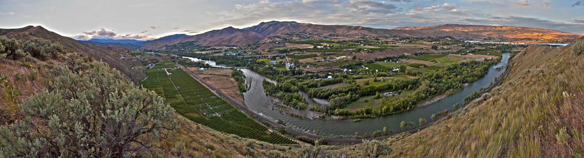
Stream flow data are essential to determining the amount of water available to meet in-stream and out-of-stream resource needs. Discharge data are also an important part of water quality and flood emergency monitoring efforts.
In September 2002, the Cascadia Conservation District helped the Washington Department of Ecology Stream Hydrology Unit install eight continuous recording gages and six staff gages in the Entiat River watershed.
We are currently funded to assist the Department of Ecology with the operation and maintenance of the Entiat gaging network, and collection of stream flow data. Near
real-time data are available from the continuous recording gages. A telemetry station logs stage height, or water level, every fifteen minutes and transmits this data in 3-hour blocks to the Department of Ecology via a satellite transmitter. The flow data are automatically imported into a stream flow database and published to the Department of Ecology's flow monitoring website.
The Cascadia Conservation District also assists the United States Geologic Survey, or USGS, with the operation and maintenance of three continuous recording gages in the Entiat watershed: two on the Entiat River and one on the Mad River. Real time data from USGS stream flow monitoring gages is available on the USGS National Water Information website.
For more information follow the links above or Contact Us.
 Farm Planning
 Habitat Improvement
 Forest Health
 Native Plant Sale
 Education & Outreach